Sunny, dry, the ocean side
Kona: Kailua-Kona, Keauhou and Hōlualoa
Kona airport (KOA)Manta rays at KeauhouHonokōhau HarborCoffee country
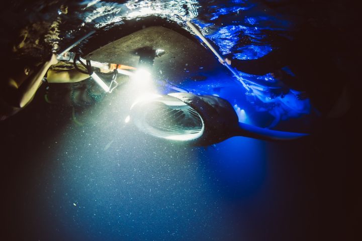
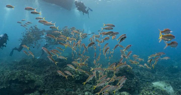
Kona is where most visitors land and most stay: Aliʻi Drive's seawall restaurants in Kailua-Kona, the resorts and condos of Keauhou, and the coffee farms of Hōlualoa just upslope. The water off this coast is the calmest and clearest in Hawaiʻi because the two big mountains block the trade winds, which is why the snorkel boats, dive boats and the manta ray night snorkel all leave from here. Honokōhau Harbor north of town is the main boat harbor; Keauhou Bay to the south is the home of the manta boats.
History and the best snorkeling
South Kona: Kealakekua Bay and Captain Cook
Kealakekua Bay marine sanctuaryCaptain Cook MonumentPuʻuhonua o Hōnaunau
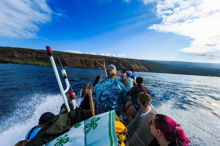
Twenty minutes south of Kona the coast drops into Kealakekua Bay, a marine life conservation district where Captain Cook landed in 1779 and died the same year. The reef below the white monument is the best snorkeling on the island, with 100-foot visibility on calm mornings and spinner dolphins resting in the bay. There is no road to the monument; you reach it by boat or a steep hike. Puʻuhonua o Hōnaunau, the place of refuge, is ten minutes further south.
The resort coast
Kohala Coast, Waimea and North Kohala
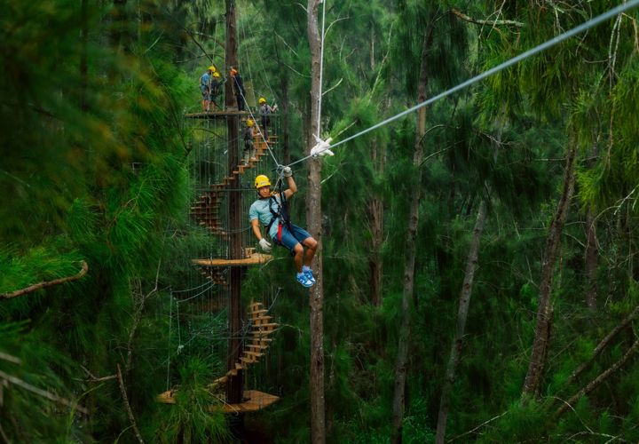
Waikoloa, Mauna Lani, Mauna Kea resortsWhale boats from KawaihaeZipline at Hāwī
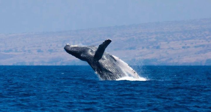
North of the airport, the highway runs across black lava fields to the big resorts of Waikoloa, Mauna Lani and Mauna Kea, built around white-sand coves like Hāpuna and ʻAnaehoʻomalu Bay. Kawaihae harbor is the base for the whale watch boats, right in the humpbacks' winter nursery. Further north, the road climbs to Hāwī and Kapaʻau in North Kohala, a green, quiet corner with the island's only full canopy zipline and the Pololū Valley lookout. Waimea, up in the ranch country between the mountains, is the gateway to the Hāmākua Coast and Waipiʻo.
The valley of the kings
Waipiʻo Valley and the Hāmākua Coast
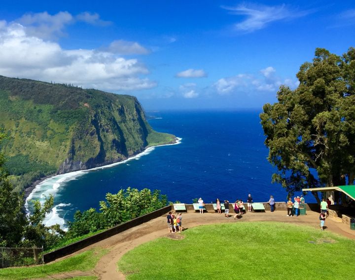
Waipiʻo lookoutʻAkaka FallsHonokaʻa and Honomū
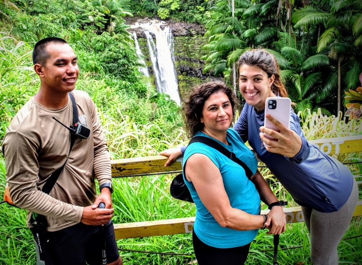
The Hāmākua Coast runs from Waipiʻo down to Hilo: old sugar towns, deep gulches, and a waterfall in nearly every one of them. Waipiʻo Valley, at the end of the road past Honokaʻa, is a mile-wide valley walled by 2,000-foot cliffs, sacred as the boyhood home of Kamehameha. The steep road down has been closed to independent visitors under a Hawaiʻi County emergency rule, so the lookout is how most visitors see it; check the county's current status before you go. Near Hilo, Honomū is the base for ʻAkaka Falls and the guided waterfall hike.
Old Hawaiʻi, rain and waterfalls
Hilo
Hilo airport (ITO)Rainbow FallsFarmers market45 min to the volcano
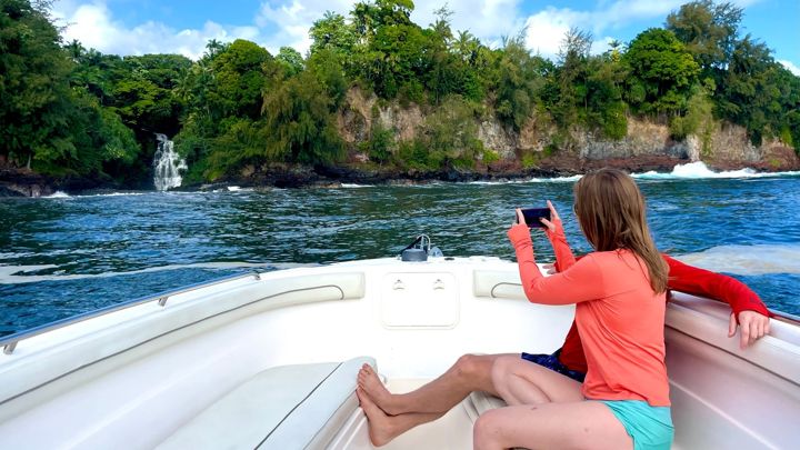
Hilo is the island's real town: a bayfront of wooden storefronts, the best farmers market in the state, Japanese gardens on Banyan Drive, and Rainbow Falls in the middle of the neighborhoods. It rains here, around 125 inches a year, mostly overnight, which is why everything is green. Hilo is the most practical base for the volcano and Maunakea, and the boats, kayaks, chocolate farms and the Onomea sea-cliff cruise all start within a few minutes of downtown.
Pele's home
Volcano and Hawaiʻi Volcanoes National Park
Kīlauea calderaCrater Rim and Chain of Craters roads4,000 ft, cool nights
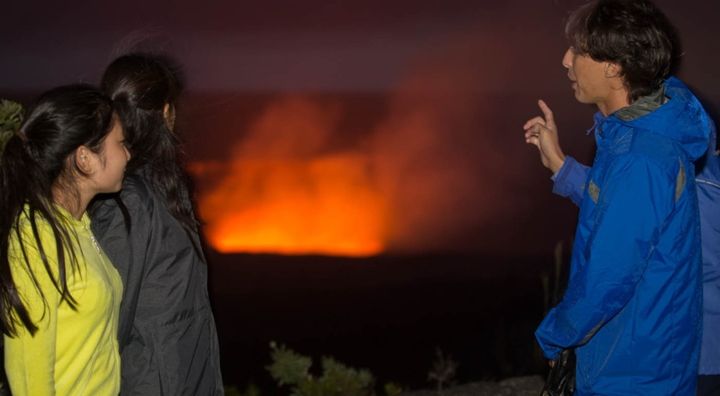
Hawaiʻi Volcanoes National Park covers Kīlauea, one of the most active volcanoes on earth, and the upper slopes of Mauna Loa. You drive the crater rim, walk through a lava tube, stand over steam vents and follow Chain of Craters Road down to the sea where lava has paved over the old coast road. Eruptions come and go; when Kīlauea is active, the glow from the caldera after dark is the most memorable thing on the island. Volcano village sits at 4,000 feet in the rainforest just outside the park: bring a jacket.
The wild southeast
Puna and Mountain View
Newest land on earthKalapana lava coastRanch country
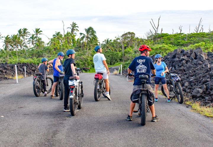
Puna is the far southeast corner between Hilo and the volcano: rainforest, papaya farms, the funky town of Pāhoa and the black-sand coast at Kalapana, where lava flows have added new land in recent memory. Mountain View, on the highway to Volcano, is ranch and farm country, home to the ATV ranch tour.
Above the clouds
Maunakea
13,803 ft summitObservatoriesVisitor Station at 9,200 ft
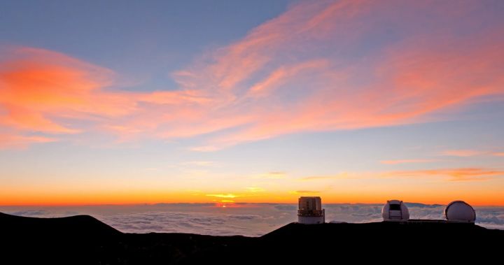
Measured from its base on the sea floor, Maunakea is the tallest mountain on earth. The summit sits above roughly 40 percent of the atmosphere, which is why the world's major observatories are up there and why sunset from the top is unforgettable. It is near freezing at sunset year round and can snow in winter. The summit road needs a four-wheel drive and most rental contracts forbid it, so take a guided tour with parkas and stargazing included. Children under 13, anyone pregnant and people with heart or lung conditions should not go above the Visitor Station.